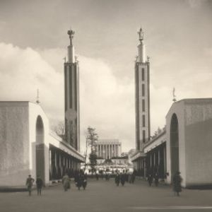
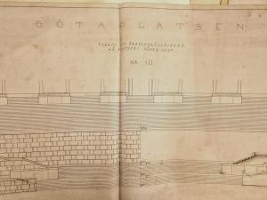
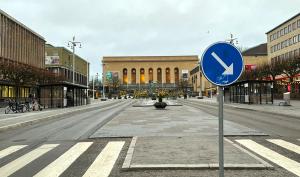
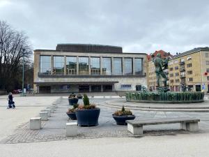
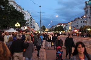
I remark on how the Place turns its back towards the sun. Large parts of it stay in the shadow on any sunny day. How come this precise spot was chosen?
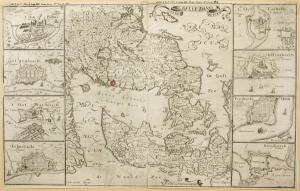
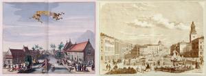
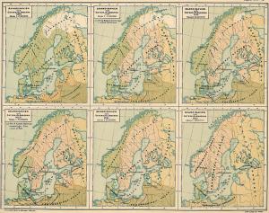
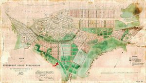
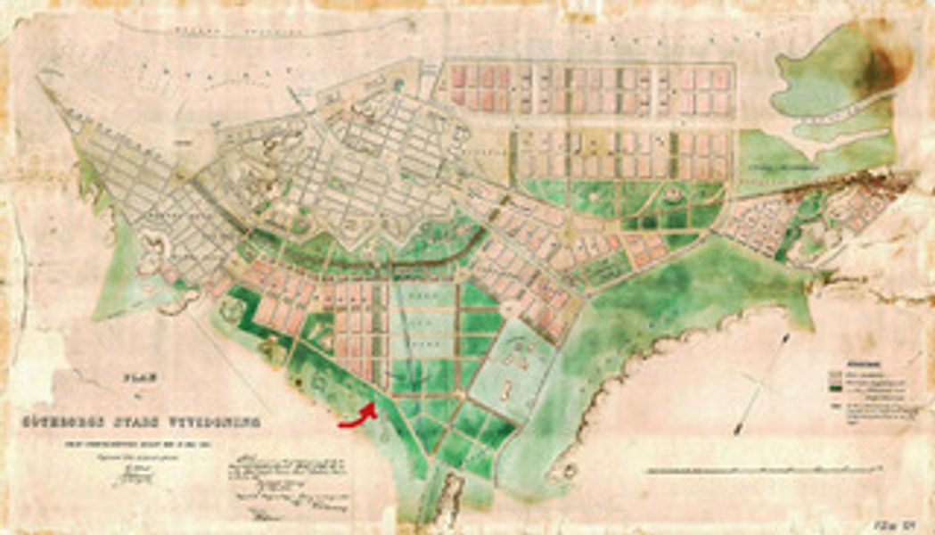
I find a map of the City from 1864. On closer inspection, this image does not represent the City at the time. Instead, it shows us Gothenburg “as it is not - but could become.”
Around 1860, the national borders had been moved. The City no longer needed any high walls to defend itself because it was now located safely within the national boundaries of Sweden. This opened for a thought of expanding outwards. The City Council announced a planning competition that included the entire area around the core of Gothenburg. More than twenty participants submitted imagery equal to this one. However, after the competition, Gothenburg City Council decided to combine several proposals into a new urban plan - the one we see here, in a copy dating from 1871.
We see the core of Gothenburg enclosed by moats. Red-coloured areas indicate planned new urban developments — housing, factories, and other buildings. Green areas indicate new or expanded parklands - such as the New Ally and the Garden Society Park (Trädgårdsföreningen), where we find them today.
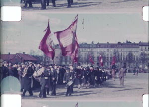
And like a narrow vertical yellow antenna stretching southwards right beneath the heart of the City, we see Kungsportsaveny (The Avenue). It has already assumed the role as the backbone of a new urban district meant to offer modern housing for the City’s wealthier population. It might seem to end rather abruptly at Engelbrektsgatan. But this was perfectly logical in the then Gothenburg: South of Engelbrektsgatan opened a green area. The City’s high society had gathered here for many years. They used it for their leisurely strolls, music performances and theatre performances. There was an inn, a dance floor, and a shooting range.
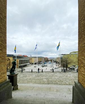
Another fifty years would pass before the municipality decided to extend the Avenue into this green space and create a new monumental destination: Götaplatsen.
This explains the placement and why it turns towards the new urban area - instead of facing the sun. But doesn it also confirm, that the Place is in fact born as an image?
Image: Expansion Plan of Gothenburg, 1871. Wikimedia Public Domain.